Wild Running North Devon & Exmoor
On our never-ending quest to seek out the best running this beautiful country has to…

I’m constantly looking for amazing running experiences; searching guidebooks, blogs and magazines for route ideas or images of a landscape I’d like to run through. I’m often found poring over maps, looking for runnable links between summits, exciting ridges and hidden valleys to explore. Lots of factors come together to create a truly great running adventure: the terrain, views and what’s actually under your feet combine with the weather, time of day, history or heritage of the area, as well as the company – or lack of – that you run with or the people and wildlife you meet on the way. A horseshoe ridge is one feature that consistently makes for a great challenge that I love to run whenever I get the chance.
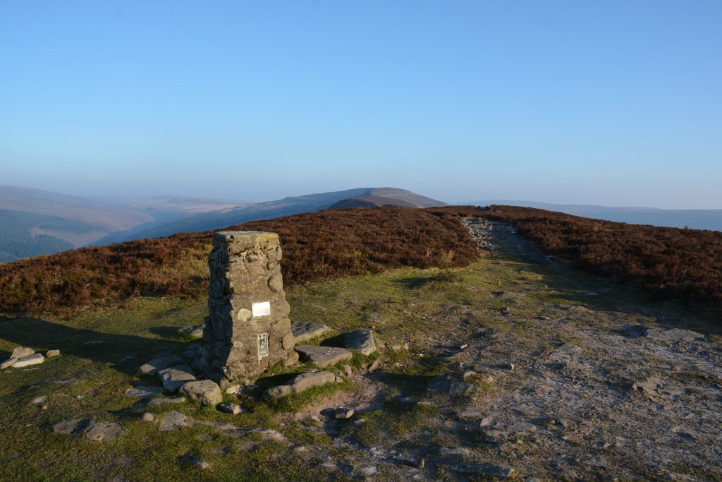
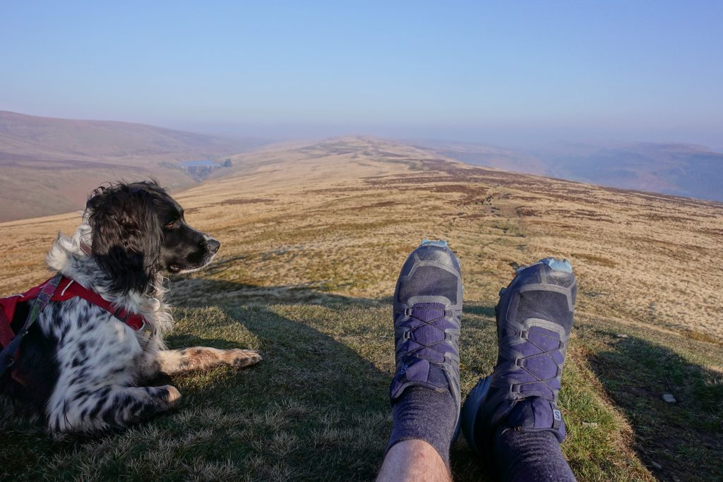
It’s early on a sunny Saturday morning and I’m racing the rising sun up a steep Welsh valley in the Black Mountains, on the eastern edge of the Brecon Beacons National Park. Starting at the ruins of Llanthony Priory the run begins with a steep climb up Bal Bach to the first of today’s trig points on Bal Mawr. It’s a little under 500m of ascent in only 3km, so I walk quite a lot, warming up the legs and feeling pleased to gain a lot of the height early on. From Bal Bach a long ridge stretches before me with views of Waun Fach (another fantastic horseshoe) to my left and the return ridge on my right. The path is good underfoot and navigation is easy. The ridge undulates, sometimes challenging me to keep up my pace as it slowly rises, and sometimes coaxing me downhill at high speed. I pass some minor tops and spot a couple of perfect bivvy spots to store away for future adventures.
The northern edge of the Black Mountain range is steep-sided and drops away to far-reaching views north-west across Powys towards the Elan Valley and Pumlumon in mid-Wales. It’s the head of my horseshoe so I turn right at the trig and head over Twmpa and then down a long, fast descent to the lane at Gospel Pass. A short, steep ascent to the next trig on Hay Bluff brings the rewards of stunning views across rolling Herefordshire and the start of the long and inviting path south.
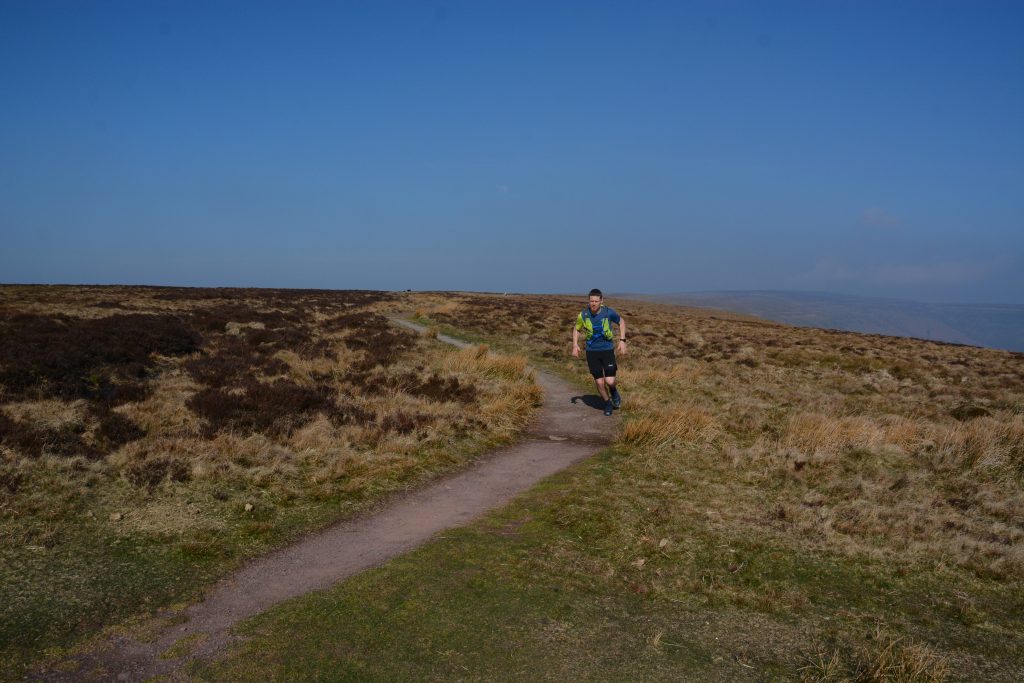
On the return section I’m running on the Offa’s Dyke Path. One of Britain’s National Trails it is surfaced with a combination of gravel or large flag stones. The trail slopes gently downhill and the running is flowing and effortless; it’s a great feeling to cover these easier miles with the hard hills behind you and the end in sight. After about 7km I pass a trig point and then look out for the indistinct stone sign to turn right and drop off the ridge and back into the valley.
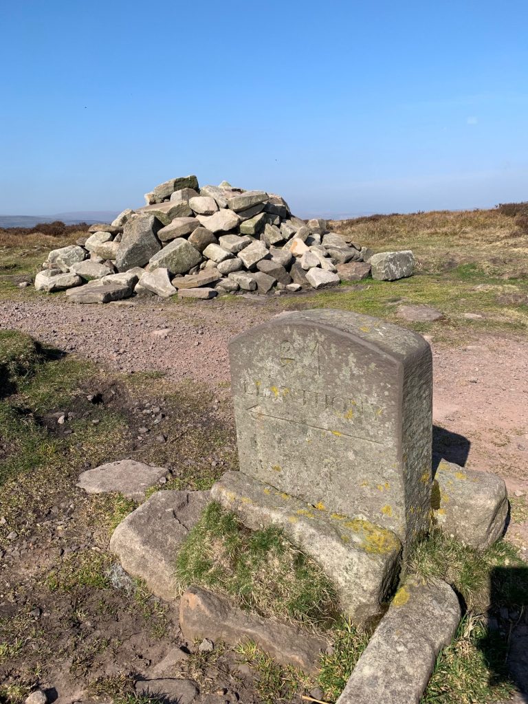
The final descent is steep and uneven – fun running but hard on tired legs and felt in my quads for the following couple of days. In clear weather you can see the ruined priory for most of the descent making route finding enjoyably straightforward.
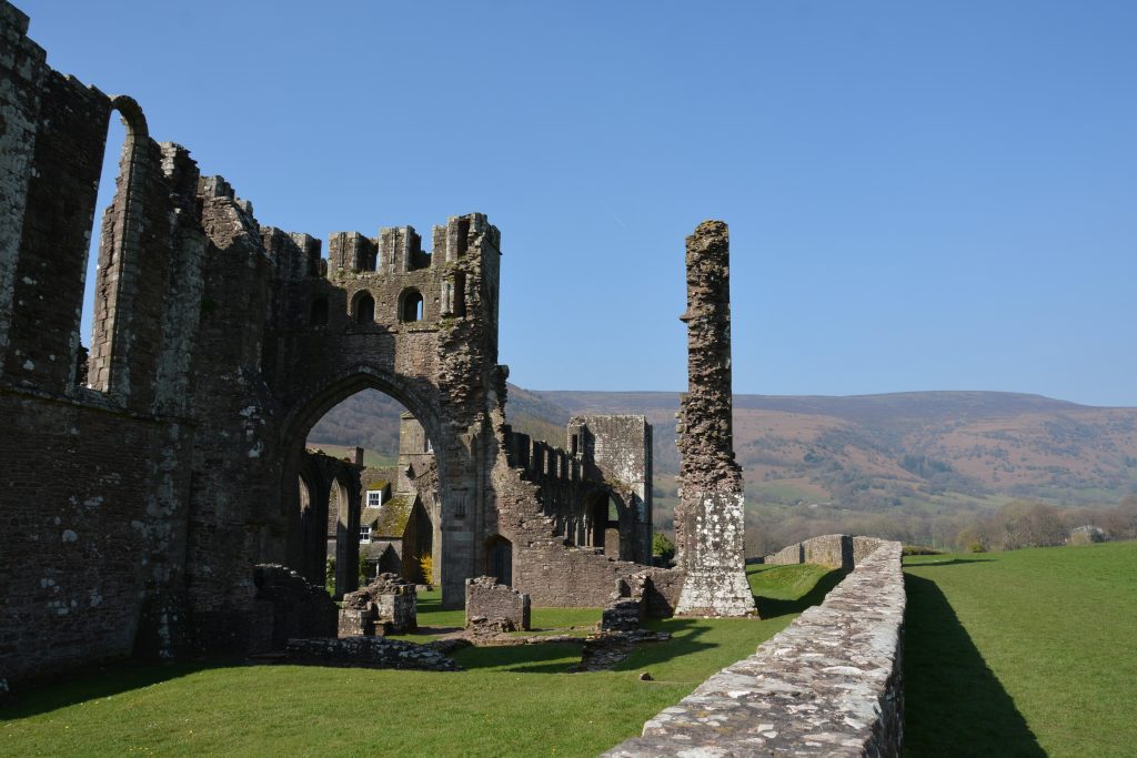
If you fancy giving this route – one from the brand new edition of Wild Running – a go, you’ll find directions, mapping and downloadable .gpx file here. It’s about 29km (18 miles) with around 1100m of ascent and it took me about four hours with lots of photo stops. It’s great running in either direction but the navigation at the beginning is easier if you start south-west up Bal Bach, following signs from the road.